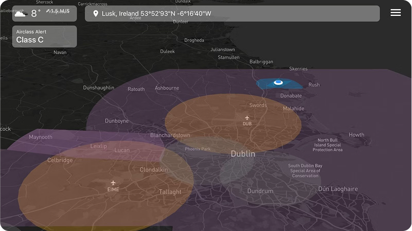
Customer location: Dublin, Ireland 


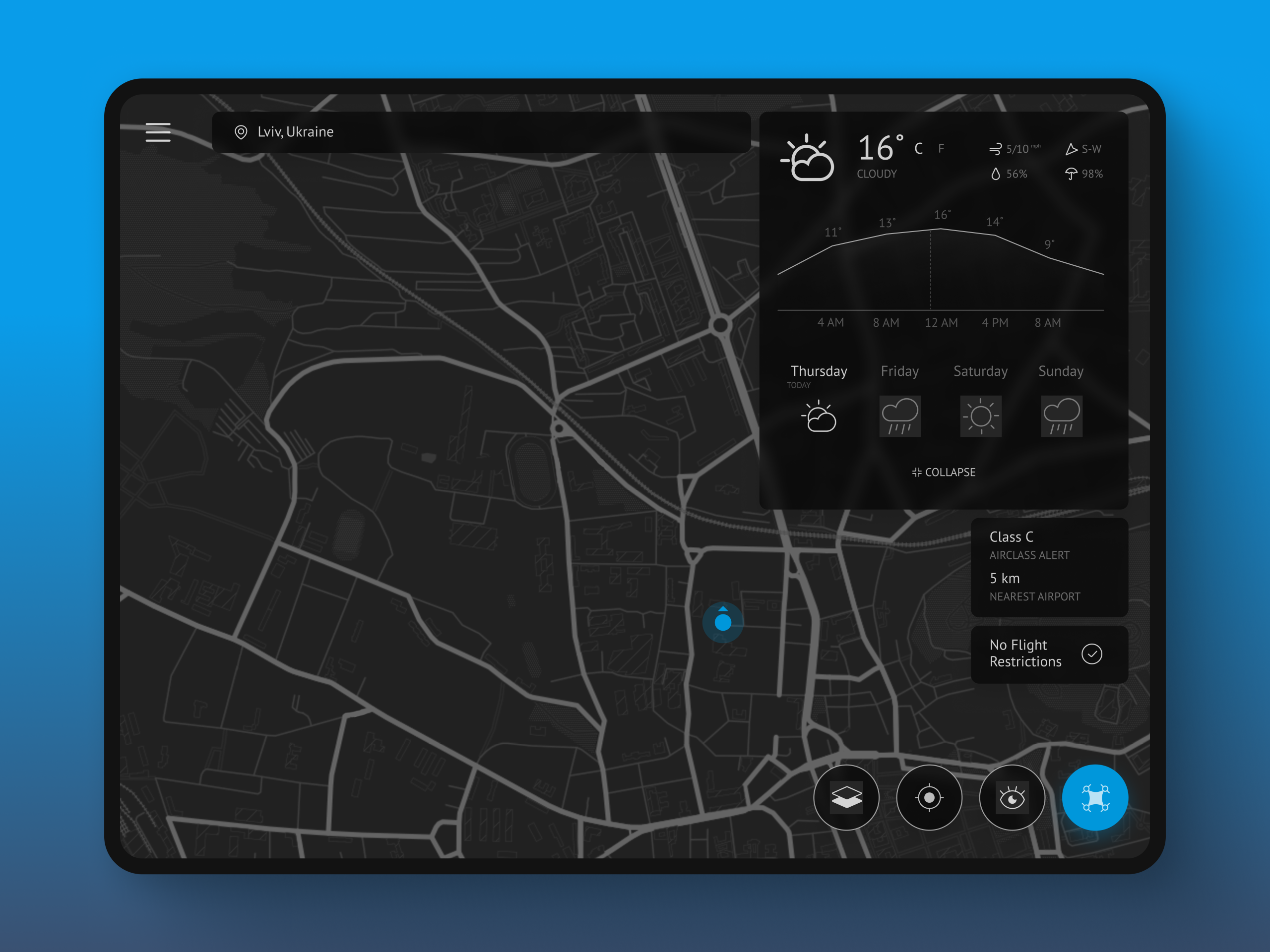
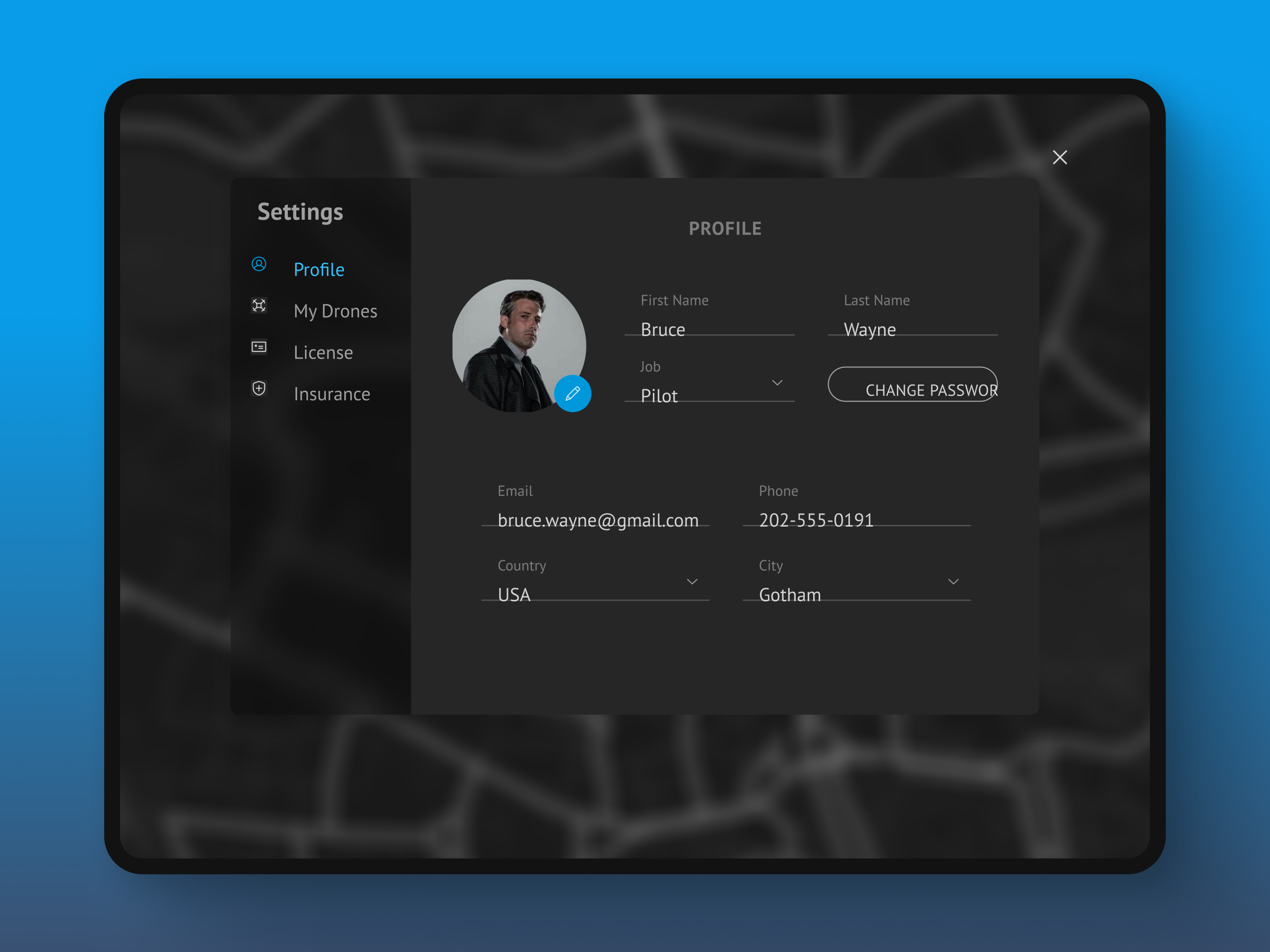
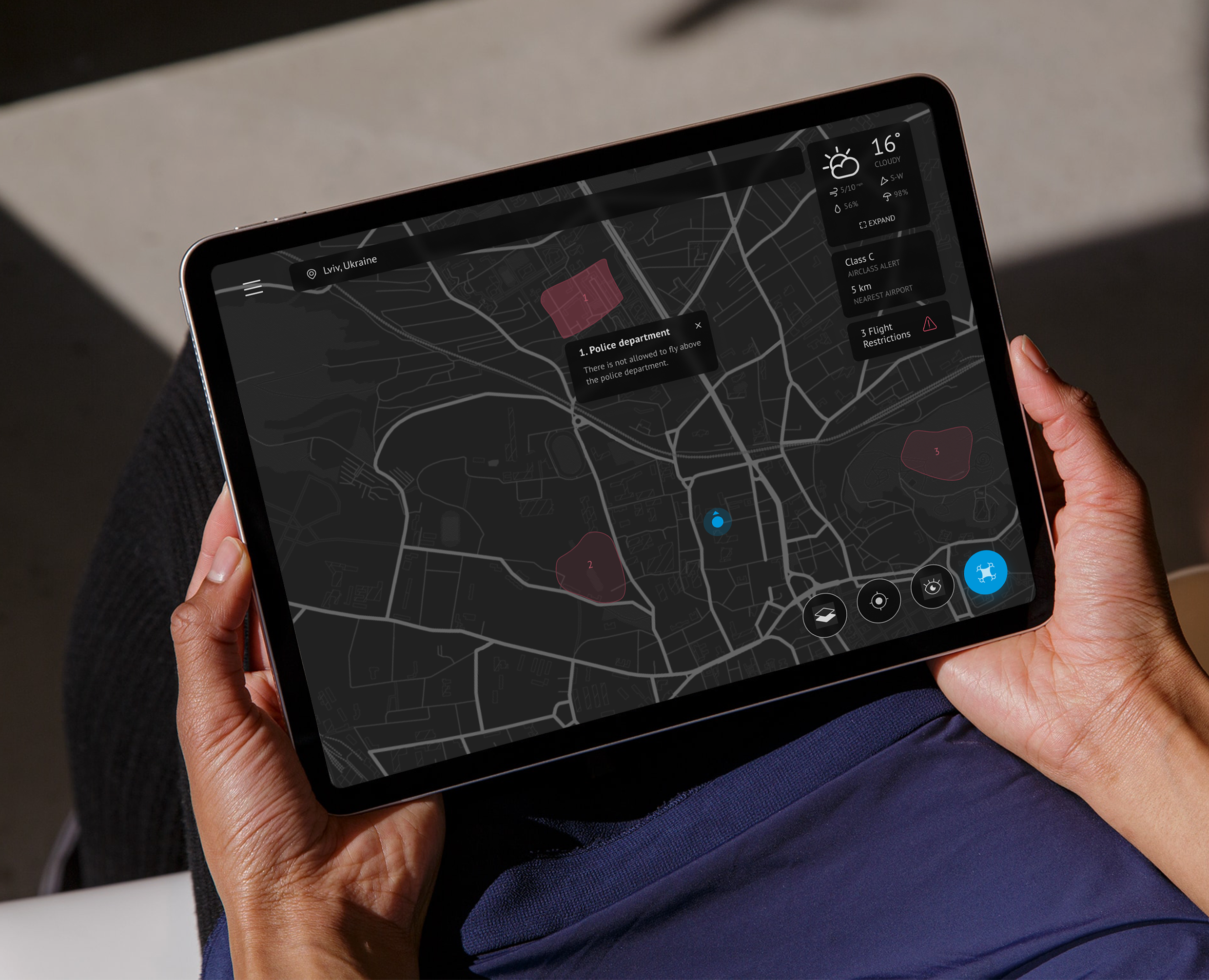


Ralabs designed a path to cover the issues our previous developers left us with. They began bystabilizing our platform and fixed problems with our critical systems. Ralabs implemented UX/UIfeatures and performed backend development across our Google accounts, AWS, and other platforms.

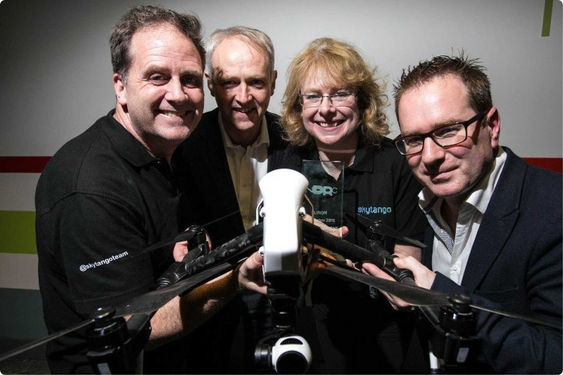
Steven Flynn
CEO & Co-Founder, Skytango