Services: PII management (GDPR anonymization of all imagery) ● Photo & video mobile survey (multicam)
Key achievements:
190,000+ km surveyed
8.5M+ images captured
98.18% quality rate
The challenge
The client needed a pan-European highway imagery program built entirely from the ground up — with no existing process, team, or equipment in place. Every operational decision had to be made from scratch, under a tight seasonal deadline and a clear mandate to do more with less budget.
European highway interchange surveyed as part of the Pan-European Navigation project.
Key challenges included:
Road imagery database for highways in 27 EU countries
Full process design from scratch — teams, equipment, routes, QC
Strict 3-month deadline across a summer operational window
Maximize coverage per budget — 20% cost reduction target
What we delivered
01
190,000+ km surveyed
Highway roads captured across 27 EU countries in a single 3-month operational window, covering territory the client had not previously mapped.
02
8.5 million images delivered
High-quality images captured and processed, giving the client one of the most comprehensive highway imagery databases in Europe.
03
98.18% quality rate
Exceeded the client’s 96% quality target on first delivery, with no rework required and data ready for immediate use.
04
Budget saved, not spent
The client saved up to 20% of their allocated budget through route optimization and operational efficiency improvements Ralabs introduced during the project.
05
Network expanded
Client highway coverage grew by 17% as a direct result of the project — more roads mapped than originally scoped, within the same budget and timeline.
Cognitive Design Systems: redesign of engineering platform
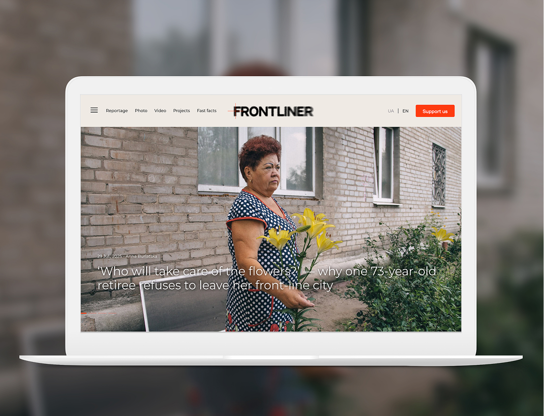
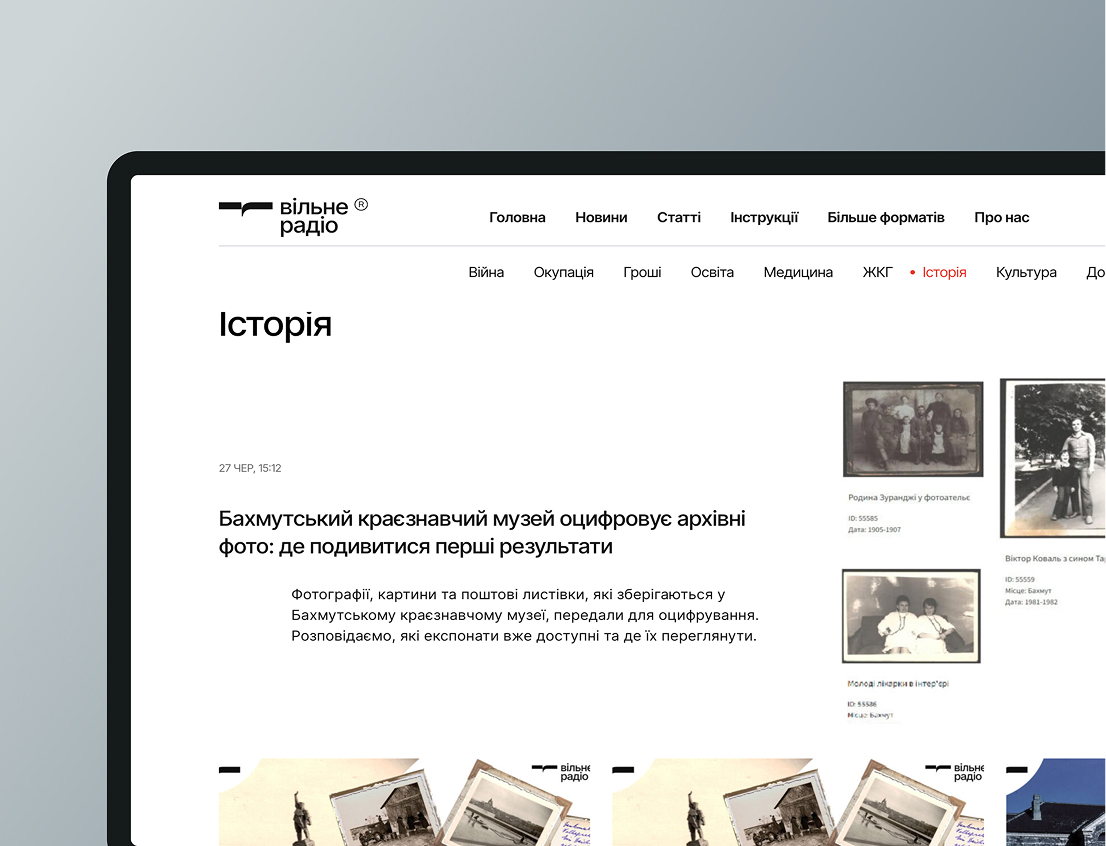
Ralabs migrated a legacy media platform to a modern WordPress-based system, designing a modular theme and automating content workflows to improve speed, editorial control, and long-term stability.
Ralabs migrated a legacy media platform to a modern WordPress-based system, designing a modular theme and automating content workflows to improve speed, editorial control, and long-term stability.
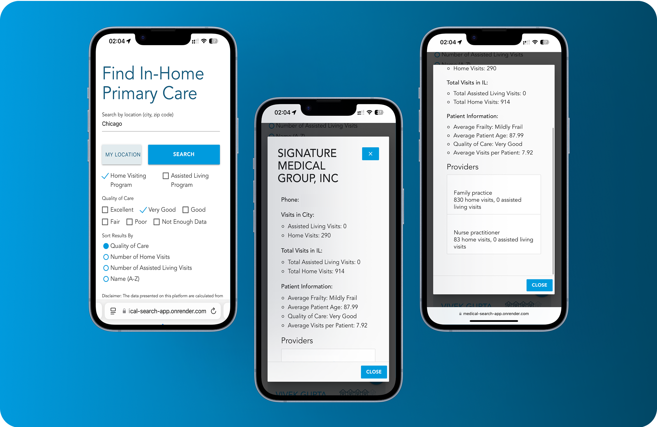
Smart Medical Search Platform for Home Visit Doctors
We launched an MVP in just one month with real‑time geolocation, Medicare data integration, and mobile‑friendly search across 100K+ practices and 200K+ providers — all under 500 ms.